Madikeri

Madikeri was formerly known as Muddurajakeri. Muddurajakeri which means Mudduraja's town, was named after the prominent Haleri king, Mudduraja who ruled Kodagu from 1633-1687.
The form of the name often used in English, Mercara, is derived from Madikeri by a standard transformation of the retroflex 'd' to an 'r' consonant.
The history of Madikeri is related to the history of Kodagu. From the 2nd to 6th century AD, the northern part of Kodagu was ruled by Kadambas. The southern part of Kodagu was ruled by Gangas from 4th to 11th century. After defeating the Gangas in the 11th century, Cholas became the rulers of Kodagu. In the 12th century, Cholas lost Kodagu to the Hoysalas. Kodagu fell to the Vijayanagar kings in the 14th century. After their fall, the local chieftains (Palegars) started ruling their areas directly. These were defeated by the Haleri kings who ruled Kodagu from 1600-1834 A.D. Haleri kings made the place Haleri, near Madikeri as their capital. Mudduraja, the third king among the Haleri kings started leveling the land around Madikeri and built a fort in the year 1681. This place was named as Muddurajakeri which later became Madikeri. Kodagu became the part of British India after 1834 A.D.
The traditional Saree is worn here in reverse, and you can still see older women wearing it in the traditional Kodagu's style.
Get in
By Road
Madikeri lies on the Karnataka State Highway 88 that runs from Mysore to Mangalore. It is 120 km from Mysore and 136 km from Mangalore. From Bangalore, the state capital of Karnataka, take the State Highway 17 (Bangalore-Mysore highway) and take a deviation just after the town of Srirangapatna to join State Highway 88 towards Madikeri. From Bangalore, Madikeri is at a distance of 252 km. Nearby towns are Hassan (115 km) in Karnataka state and Cannanore and Tellicherry in the Kerala state (each around 115 km away).
By Rail
Madikeri does not have a railway station. Nearest railheads are Hassan, Kasaragod, Cannanore and Tellicherry (each of which are almost equidistant 115 km away). Mysore and Mangalore have railway stations with very good rail connectivity and are good alternatives to reach Madikeri.
By Air
Madikeri does not have an airport. The nearest airports are Mangalore (136 km away) and Calicut (180 km). Bangalore airport is an alternative. However, with the upgradation of the existing Mysore airport, that would be the nearest airport to Madikeri.
Places
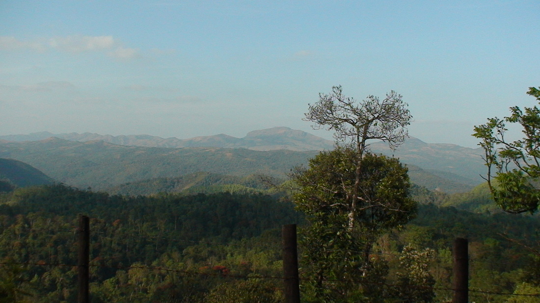
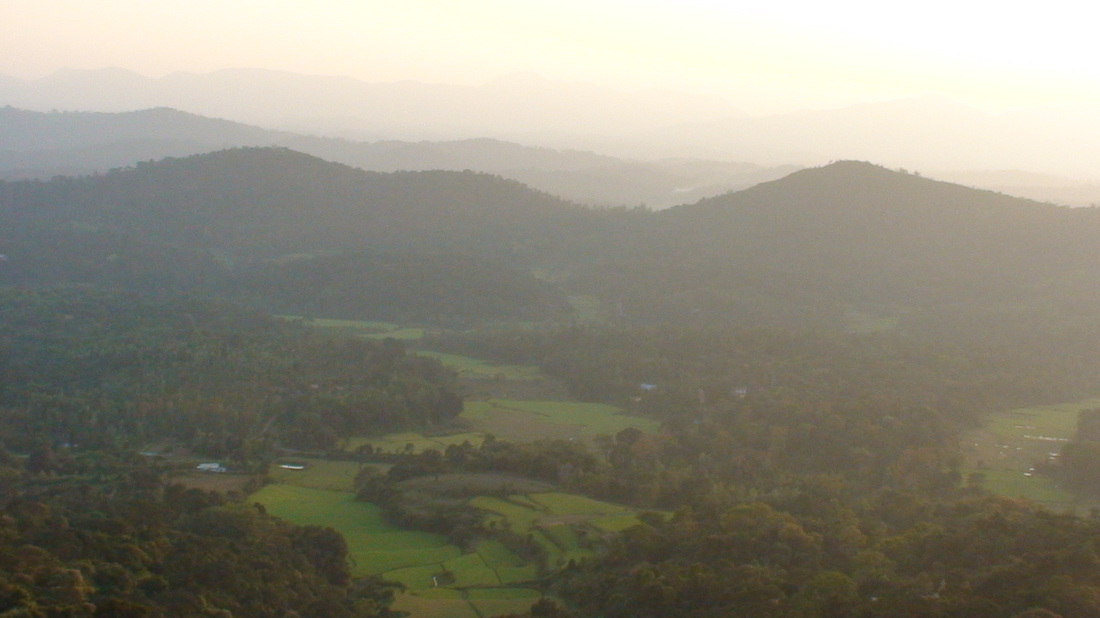
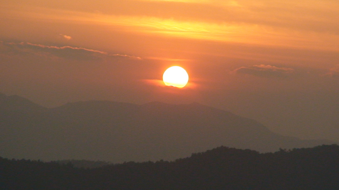
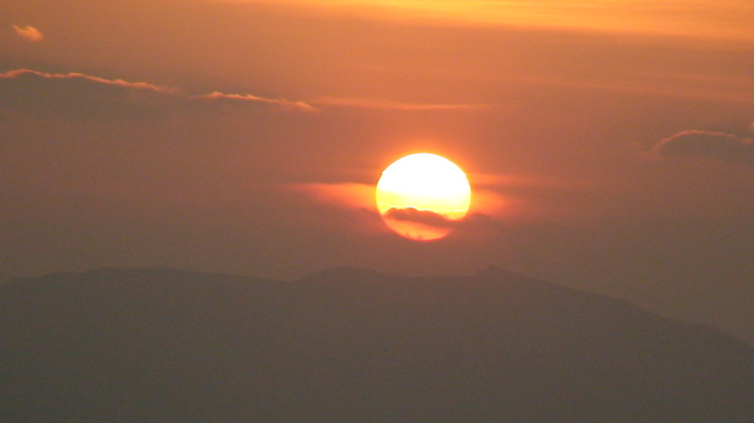
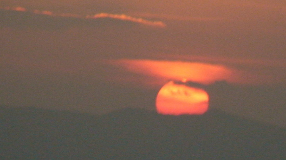
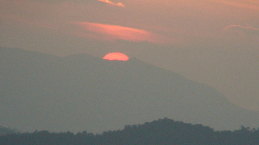
- Raja's Seat Legend says that the local rajas used to watch the sun set from here. There is a nice garden and a beautiful panoramic view to the valley. In the middle of Madikeri, ask for directions from the point you are in and walk (or take a rickshaw). It's a fantastic scene during sun rise or sunset.
- Madikeri Fort This fort was first built by Mudduraja in the last quarter of the 17th century. He also built a palace inside the fort. It was eventually rebuilt in granite by Tipu Sultan who named the site as Jaffarabad. In 1790, Doddavira Rajendra took control of the fort. The British who added to the fort in 1834. The palace was renovated by Lingarajendra Wodeyar II in 1812-1814. In the north-east corner at the entrance are two life size masonry elephants and a church is present in the south-east corner.
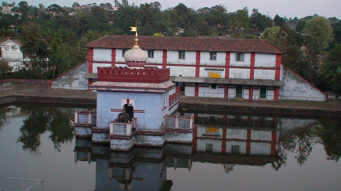
- Omkareshwara Temple In the middle of Medikeri, built in a Mohammedan style.
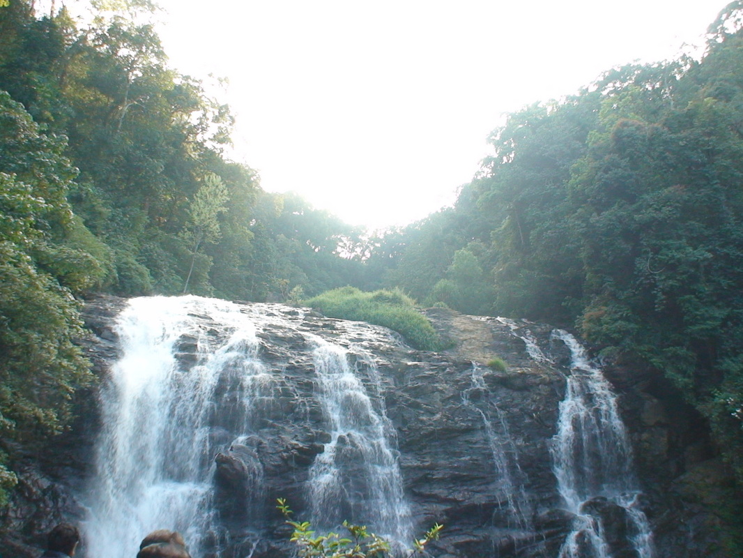
- Abbey Falls Beautiful falls 7-9 km from Madikeri (depends where you are). Abbey means "falls" in Kannda. The falls are inside a coffee plantation. Abbey Falls is a breathtaking waterfall where the Kaveri river cascades down a rockface. A hanging bridge has now been built across the gorge here offering a good view of the falls. A rickshaw to the falls and back with half an hour stop is Rs 150, but if you would like to take a swim at the pool, then a longer stay is advised. Negotiat the price beforehand, aim for around Rs 200 for a 2 hr stay
- Irupu Falls It is a fresh water cascade and is situated at a distance of 48 km from Virajpet on the highway to Nagarhole. The Falls are also known as the Lakshmana Tirtha Falls, derived from the name of the tributary of Cauvery which starts from these falls, the Lakshmana Tirtha River.
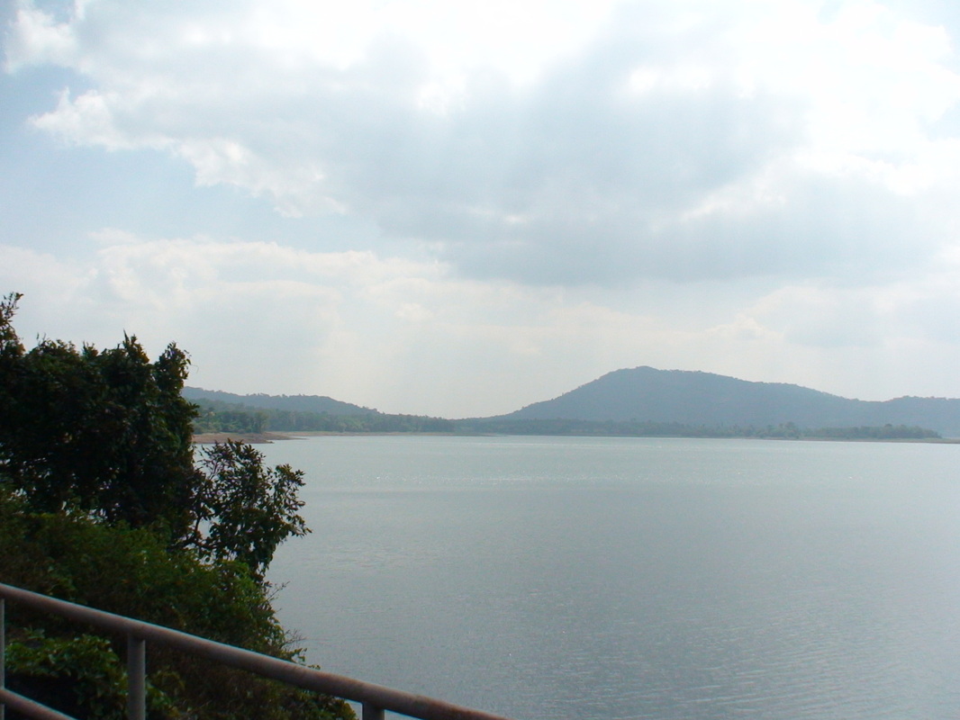
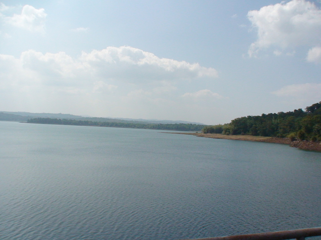
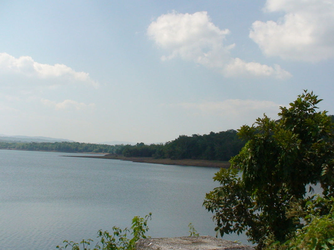
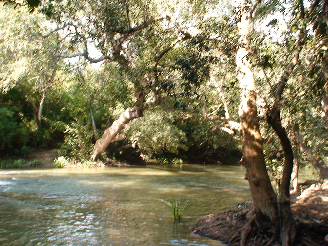
Photo Gallery